Advancements in Spectral Imaging: Transforming Agricultural Research
Uses of Spectral Imaging
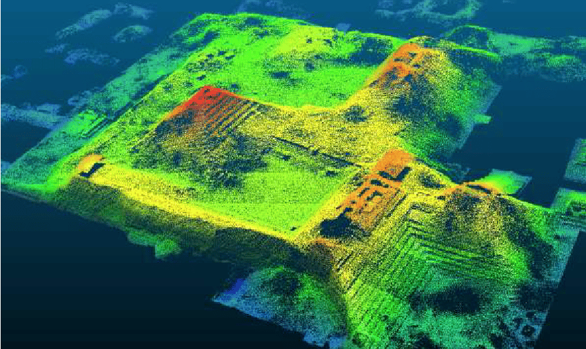
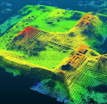
LIDARMULTISPECTRALHYPERSPECTRAL
Introduction to Spectral Imaging in Agriculture
Modern agriculture is experiencing a significant transformation, largely attributed to advancements in technology. Among these, spectral imaging has emerged as a revolutionary tool that enables researchers and farmers alike to monitor plant health, understand growth patterns, and improve yield efficiency. The utilization of technologies such as LiDAR, hyperspectral, and multispectral imaging has become increasingly prevalent in agricultural research, facilitating long-term data collection related to phenotyping characteristics in plant growth.
The Role of LiDAR in Precision Agriculture
Light Detection and Ranging (LiDAR) is a remote sensing method that uses laser light to measure distances and create precise, three-dimensional information about the surface of the Earth and vegetation. In agriculture, LiDAR's application is particularly valuable for topographic mapping, which helps in understanding drainage patterns and the effect of terrain on plant growth. By analyzing these topographical variations, farmers can make informed decisions regarding irrigation, fertilization, and planting strategies. Additionally, LiDAR aids in assessing plant heights and canopy structure, crucial factors in determining plant health and productivity.
Hyperspectral and Multispectral Imaging: A Comparative Insight
Hyperspectral and multispectral imaging are both integral to the study of plant behavior and health, acting as complementary technologies in agricultural research. Hyperspectral imaging captures a wide spectrum of light across multiple wavelengths, which allows for more detailed analysis of plant biochemistry and physiology. This technology can detect subtle variations in plant stress levels, nutrient deficiencies, and disease symptoms, thereby offering researchers comprehensive insights into plant conditions.
On the other hand, multispectral imaging, while capturing fewer spectral bands than hyperspectral, is often sufficient for routine agricultural monitoring. It provides critical data pertaining to vegetation indices, which are indicators of plant health and vigor. The normalized difference vegetation index (NDVI), for instance, is commonly utilized to assess growth stages and overall biomass of crops.
Long-term Data Collection and Phenotyping Advances
The integration of spectral imaging technology in agriculture is not just a fleeting trend; it represents a fundamental shift towards data-driven approaches in crop management and phenotyping. Long-term data collection is essential for accurately assessing plant growth dynamics, allowing researchers to identify optimal growth conditions and genetic traits that enhance yield. By consistently utilizing technologies like LiDAR, hyperspectral, and multispectral imaging, agricultural professionals can build extensive databases that support predictive modeling of plant responses to environmental changes.
As the agricultural sector continues to embrace these advanced methodologies, the potential for improving crop resilience and sustainability expands significantly. Research initiatives and collaborations among agronomists, data scientists, and technology developers will further solidify the role that spectral imaging plays in the future of agriculture.
In conclusion, the employment of spectral imaging, particularly the synergistic use of LiDAR, hyperspectral, and multispectral technologies, has revolutionized agricultural research. These advanced tools are pivotal in enhancing our understanding of plant growth and optimizing agricultural practices, ultimately contributing to food security and environmental stewardship.